The Blue Land Geoportal is web-based portal for interactive visualization of the spatial data collected in the Aare Project and organized in a common spatial infrastructure.
The portal combines Geographic Information Science (GIS) principles and tools to harmonize a relatively large and multi-dimensional datasets, including several themes: Administrative units, Monitoring facilities and observations, Habitats and biotopes, Biodiversity, Protection and conservation, Spatial management and planning, Facilities utilities and public services, Resource exploitation, Natural system modification, Geographycal features (Hydrography, Hydrology, Geology, Geomorphology, Geophysics, Elevation, Environmental variables), Socieconomics.
The tool combines intelligent web maps with graphs, charts, tables, and text to unlock, making accessible and re-usable the data relevant for the governance of marine and coastal resources and fostering the involvement of local communities in biodiversity protection.
The geoportal hosts large scale data (South Adriatic Sea) and fine scale data for the three localities, which are the pilot areas of the project
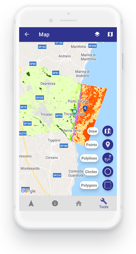
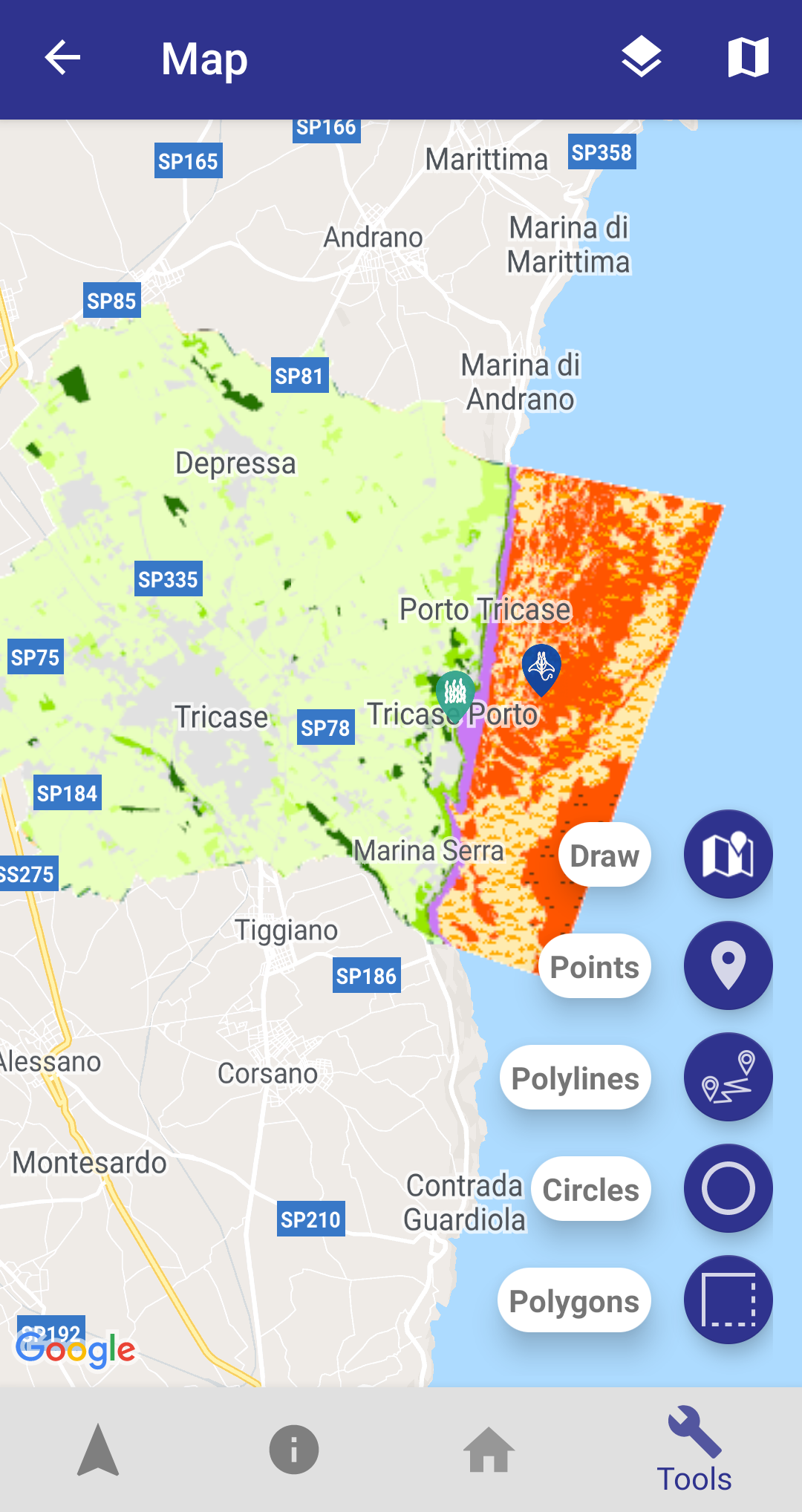
Get information about a point
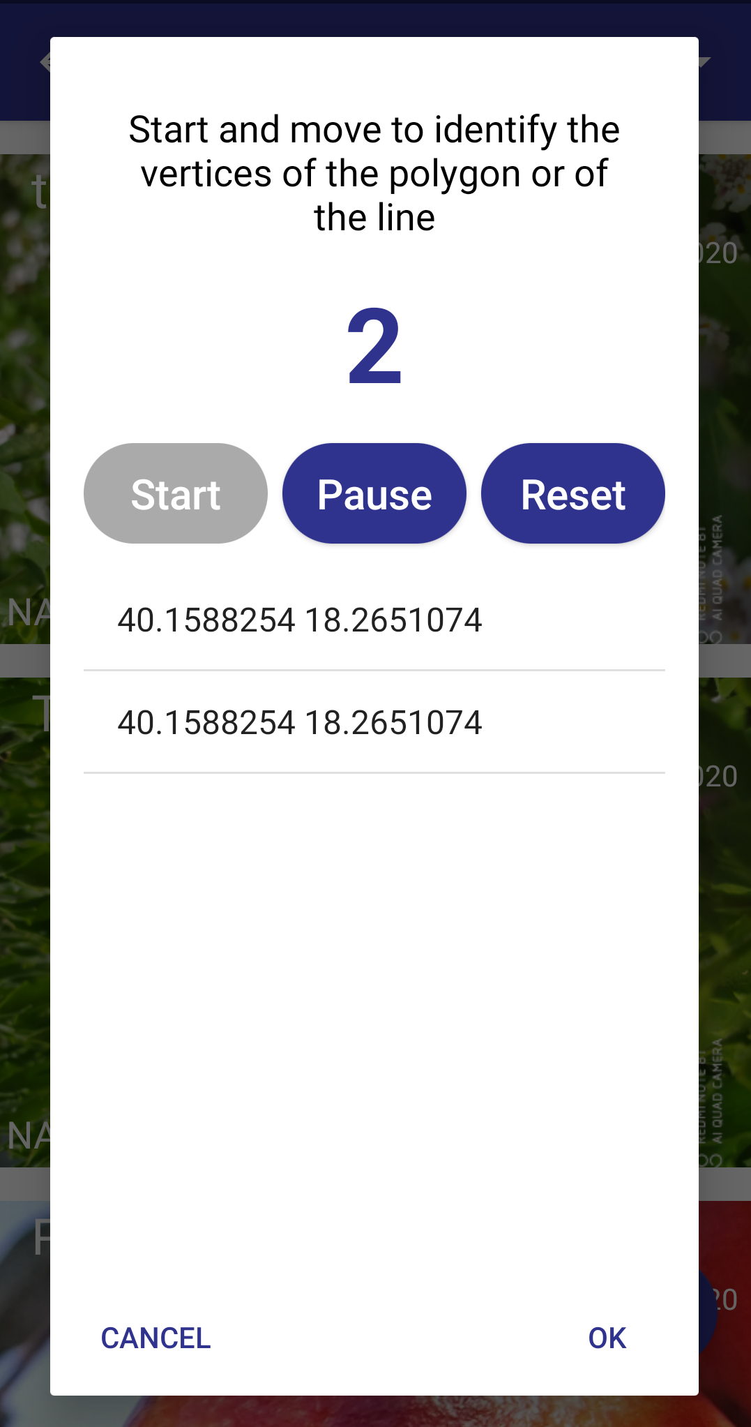
Register a polygon by selecting individual points or drawing on the map
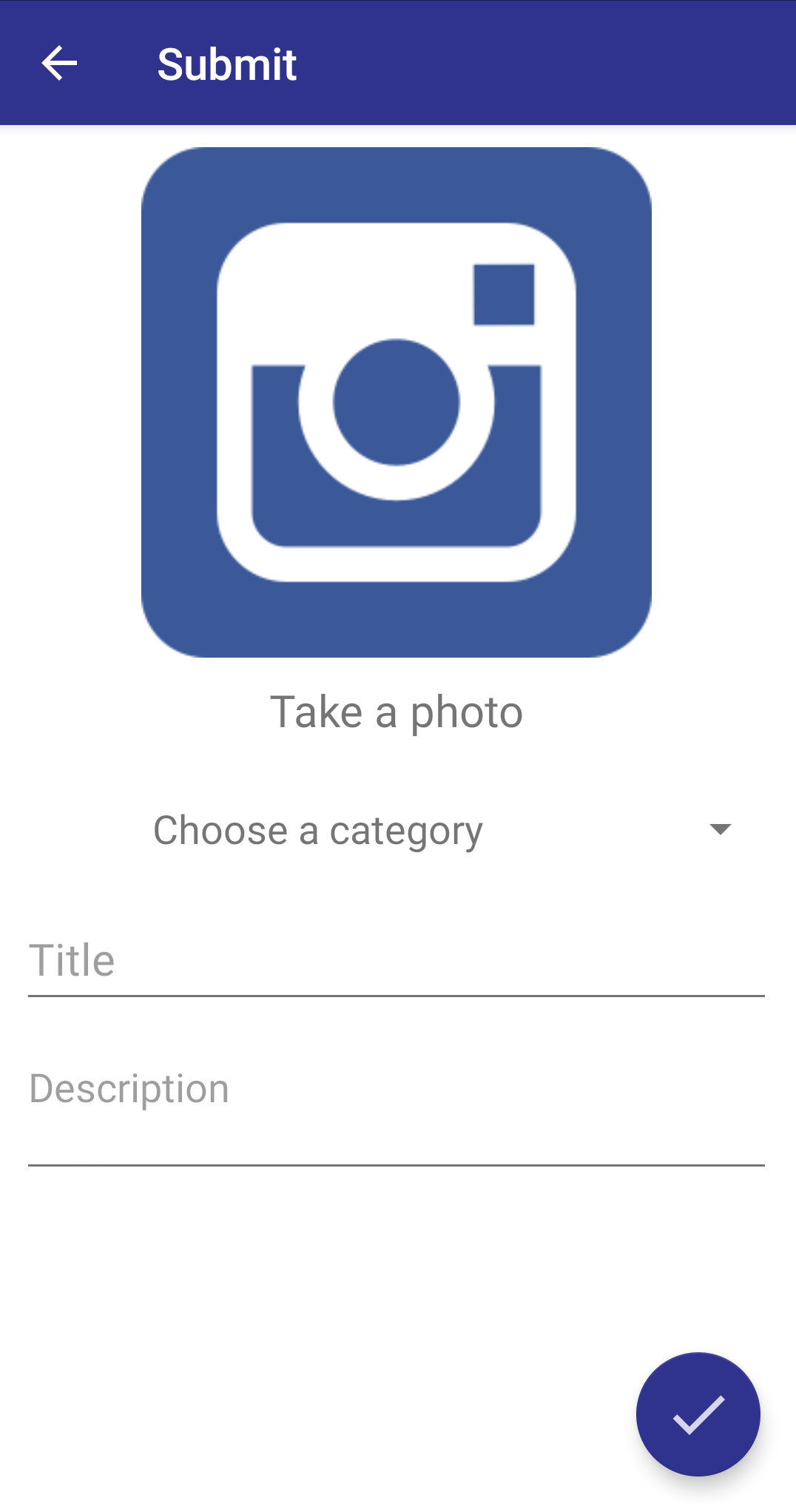
Register a new point
Register a polyline by selecting individual points
Define a circle by setting the center and radius
Set what you want displayed on the map


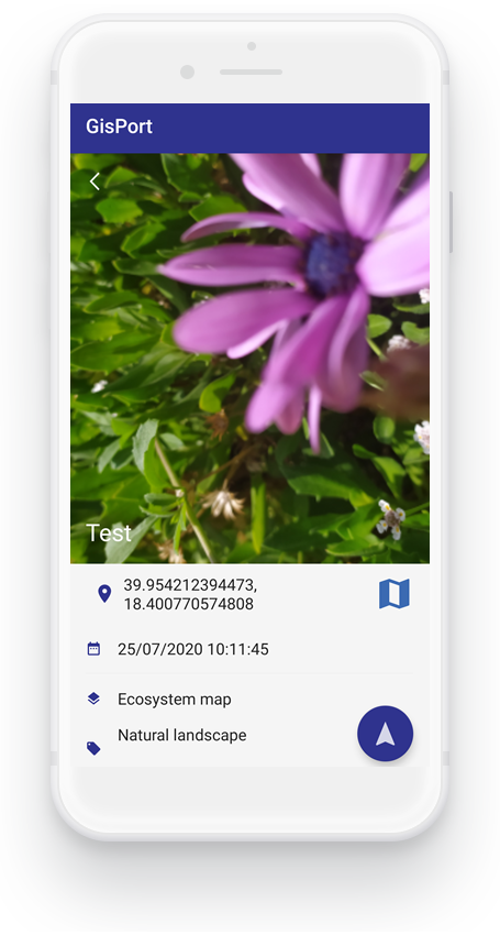
The app can detect the plants and animals in the area you photograph, using the image recognition. The location data is used to show you the species already detected and adds it to the existing data base collection.

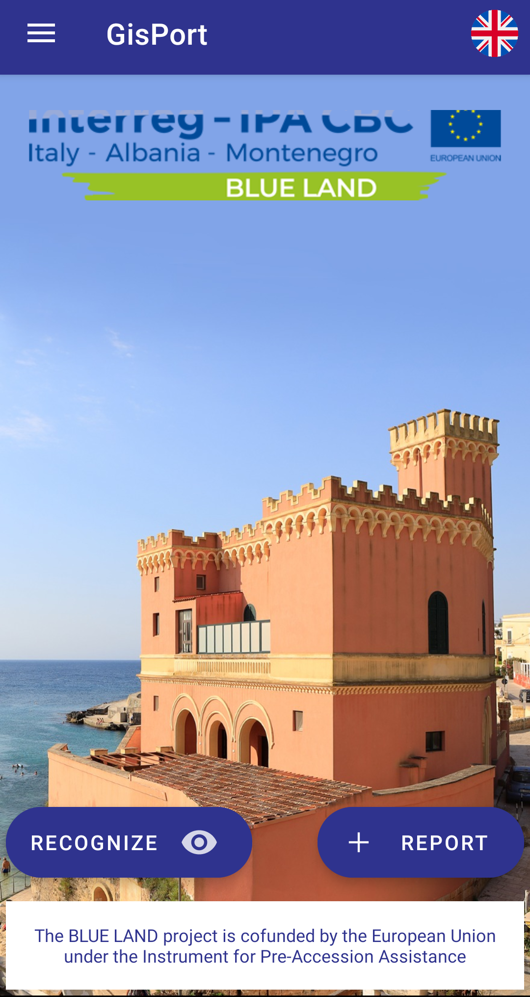
The APP - GISPORT gives you access to news concerning marine and coastal resources, mechanisms for the direct involvement of local communities in land management and protection of biodiversity, but also on the subject of goods and services that are essential for the well-being of the communities and for life quality, thereby encouraging development and well-being.

The APP - GISPORT allows you to operate in three pilot areas: Porto Palermo, (Albania), Velika plaža and Bojana river (Montenegro) and Tricase (Italy), to involve the community in the monitoring of the indicators related to the ecosystem services identified (citizen science approach).

The APP - GISPORT permits the use of national languages in three pilot areas: Porto Palermo, (Albania), Velika plaža and Bojana river (Montenegro) and Tricase (Italy) and of English to raise awareness among the actors operating in the communities, involving them directly in the protection and safeguard of the natural systems of their territory.

The APP - GISPORT runs on both Android and iOS operating systems.
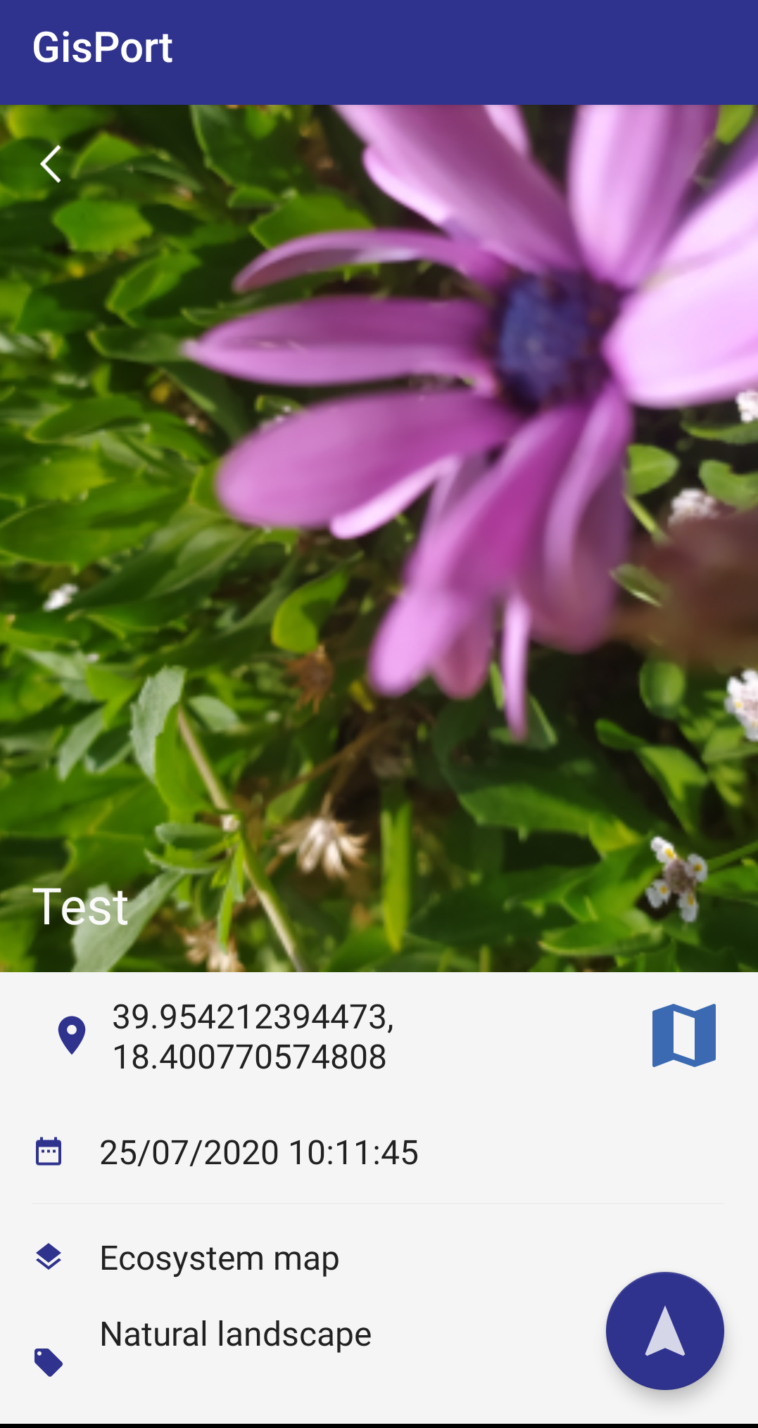
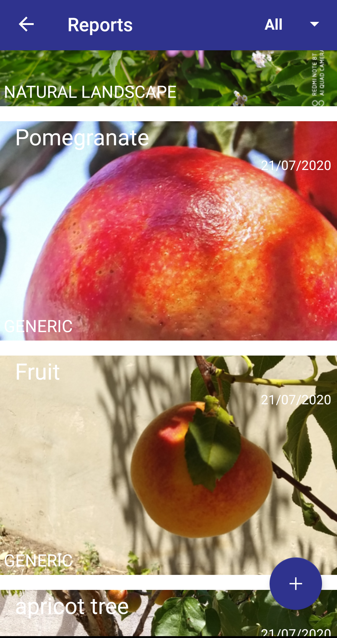
Here are some screenshots of the app.